
How about that widespread sunshine we didn’t all see today? Sometimes forecasting a full day of sunshine is as difficult in the summertime as forecasting snow is in the winter… As much as I love summer, I’ll be glad to get more ‘predictable’ weather as we head into fall in a couple months.
Anyway, enough with my mini rant there. A few showers and storms remain scattered about across the region late this evening. The latest model runs have been back and forth on whether or not to bring additional storm activity into our region later tonight between around 10 p.m. and the early morning hours of Sunday. That said, whether these storms materialize into a widespread complex impacting a good chunk of our region remains to be seen. As it stands, I wouldn’t be surprised if a few areas see storms overnight while other areas see nothing at all.
It is worth noting that we have a Level 1 out of 5 severe weather risk in place for the low-end probability of damaging wind gusts occurring with one or two storm cells tonight. From what we’ve seen on radar so far, these storms have been behaving to our west. Hopefully that will remain the cast for us overnight…but don’t be too terribly caught off guard if your weather radio or phone goes off for a severe warning.
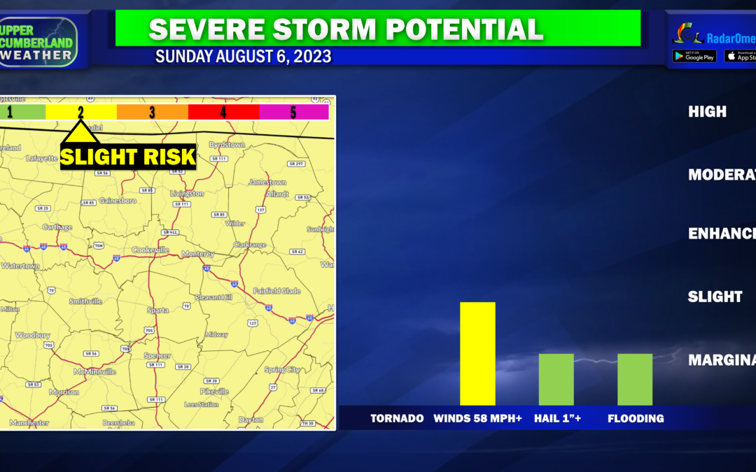
Forecast uncertainty continues into tomorrow. We’re fairly confident scattered storms will develop during the afternoon or evening hours, but their exact placement and timing is completely up in the air. A cold front will be on approach tomorrow, helping to provide a bit more instability for storms to work with. We’re currently outlooked in a Level 2 out of 5 ‘Slight’ Risk for severe weather tomorrow — once again for the potential of damaging wind gusts.
We’ll continue this same story into Monday as this system is slow to pull away from us. Scattered showers and storms will again be possible with another Level 2 out of 5 severe weather risk in place for the potential of damaging winds.
Aside from the severe weather risk, localized flooding issues also cannot be ruled out either Sunday or Monday should we see training of storms over the same locations for an extended period.
We’ll hopefully get a break on Tuesday before rain and storm chances pick back up by Wednesday.