
Following quite a tumultuous week of tornadoes and, unfortunately, more tornadoes (five in all confirmed here in the Upper Cumberland between last Monday and Saturday’s storm events), we’ve been able to enjoy some pretty nice weather the past several days.
Sadly, we’re returning to a more unsettled pattern beginning today, but the good news is we don’t have any severe storm worries on the horizon.
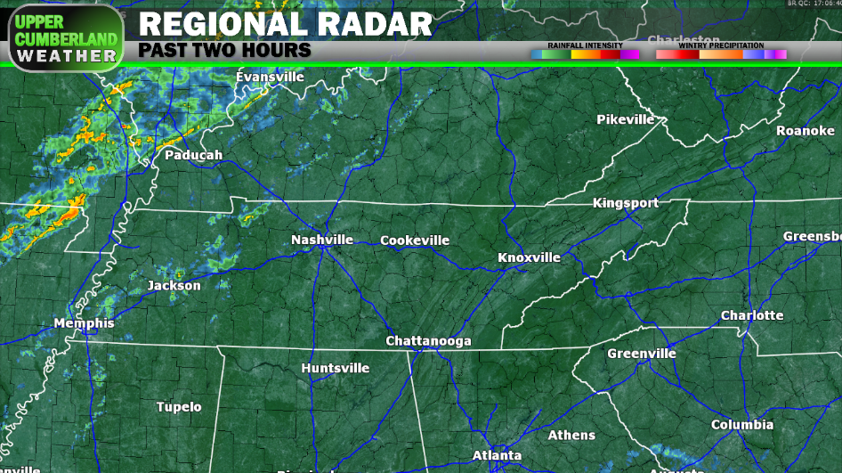
A cold front will work down from out of the north later today, bringing with it a round of scattered showers and thunderstorms as we head into the evening hours. Again, no severe weather is expected, but a few rumbles of thunder can be expected.

Highs this afternoon will be quite mild for this time of year, ranging from the 60s (Plateau) to the upper 60s, possibly near 70°.

The cold front will hang out for a bit tonight before lifting back to the north tomorrow as a warm front, triggering yet another round of showers and thunderstorms to develop. Scattered activity appears most probable from late morning into the afternoon hours before lifting completely north of us by evening.
Highs tomorrow will once again be in the upper 60s in most areas.
That very same frontal boundary will finally be pushed back through as a cold front during the day Saturday — this time for good. The frontal passage will kick off yet another round of scattered showers. Highs will again be mild in the middle 60s before colder air filters in behind the front overnight into Sunday morning.
We’ll dry out Sunday with temperatures returning to the frigid side. Afternoon highs only look to reach the middle 40s, even with a mainly sunny sky.
Dry conditions look to remain through the first half of next week with temperatures moderating a bit back into the 50s.
