
If few of us some some light showers or sprinkles yesterday, but those are since long-gone behind a reinforcing cold front that moved through while we slept. That front is directly responsible for the chilly afternoon highs we’re looking at today, even with plenty of sunshine in place.
Highs only look to top out in the lower 40s. Some spots in the higher elevations of the Plateau might not make it out of the upper 30s.

We’ll have one more chilly night before a big Christmastime warm-up commences. Lows overnight will dip down into the middle 20s in most areas.

Temperatures will be on the increase tomorrow (Christmas Eve-Eve) as our winds begin to shift from out of the south and southwest.
Highs will generally span the middle to upper 50s with a few spots perhaps reaching the 60° mark. Sunny skies can be expected once again.
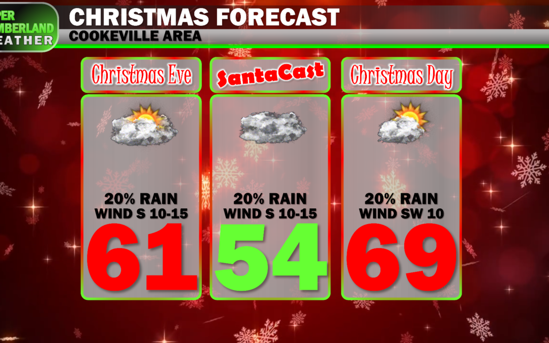
That southerly flow will really ramp up Christmas Eve into Christmas Day. A few light showers can’t be ruled out either day, but we’ll otherwise see a mix of sun and clouds paired with a stiff breeze from out of the south.
Highs Christmas Eve (Friday) are forecast to reach the lower 60s in most areas. With such strong warm-air advection, it wouldn’t surprise me if we see some areas reach the middle 60s.
Christmas Day will feel more like Easter with some areas reaching 70°! That’s my kind of weather, although I know some would prefer snow. Middle to upper 60s are forecast up on the Plateau.

We’ll look for rain and maybe a few storm chances to ramp back up heading into next week with much-milder-than-average temperatures continuing, as it appears right now.
