It was a chilly start to our post-Thanksgiving work week with temperatures held down to just the 40s Monday, but in true Tennessee fashion, change is not just on the horizon — it’s already here.
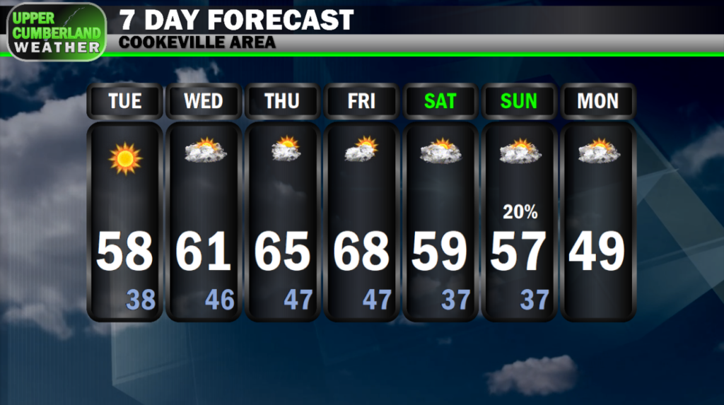
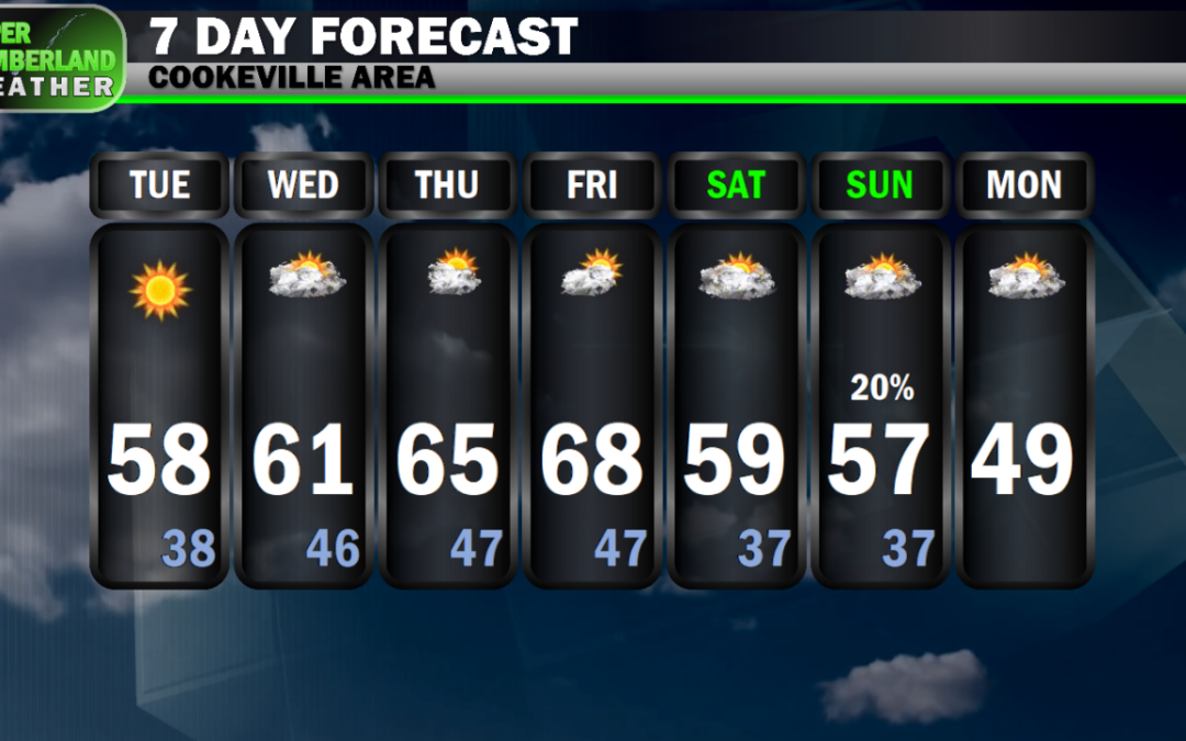
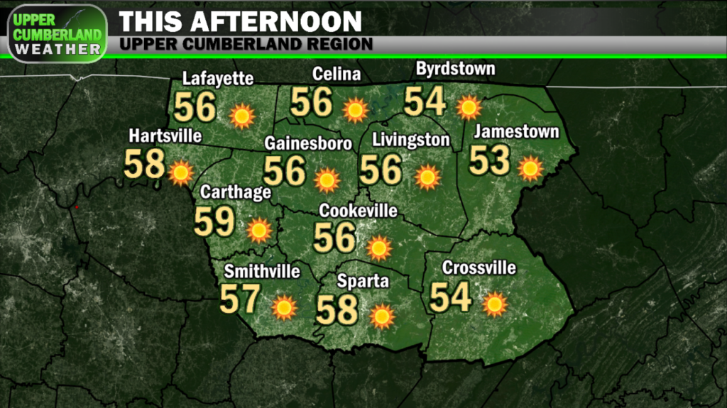
Highs on this Tuesday will run a good 10° or so warmer than yesterday. Upper 50s to around 60° can be expected in most areas. The Plateau will run a bit cooler with highs held down to the middle to upper 50s.
Waking up Wednesday, we won’t be quite as frigid as we’ve been the past few mornings with lows only dropping down into the upper 30s.
Temperatures will climb nicely into the lower 60s area-wide, upper 50s to around 60° on the Plateau for highs tomorrow.
We’ll see a few more clouds around tomorrow as a rain system passes just to our north. A stray sprinkle or two can’t be ruled out in our neck of the woods, but any meaningful chance of rain will remain to our north across Kentucky.
The warming trend will continue through the end of this week with temperatures climbing well above average. Middle to upper 60s will be common both Thursday and Friday with a few areas possibly reaching the 70° mark — all with sunny skies remaining in place.
This weekend’s forecast is a bit uncertain as models aren’t in agreement with a disturbance that will move through the area. For now, a low chance of rain is in the forecast for Sunday, but this forecast is subject to change in the coming days.