While the rest of the world is halting activities and choosing to stay home in the midst of a pandemic of which I will do my best not to reference anymore than I have to, the weather churns on…and on…and on.
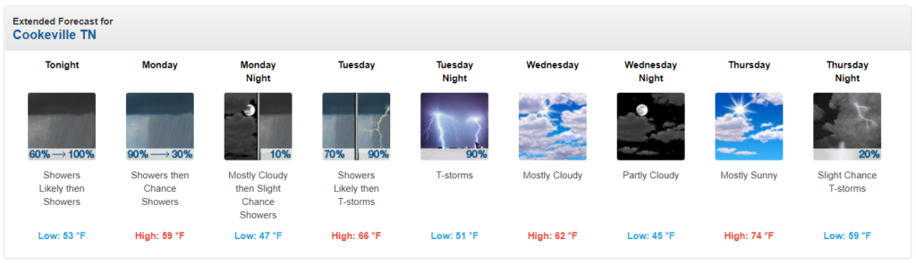
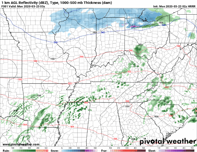
This evening has brought periods of rain to the region, and this trend will continue into our Monday.
We could see a few showers on the heavier side Monday morning. Rain looks to dissipate by afternoon, although clouds will likely stick around for most of the day. As such, expect high temperatures to be held down to just the upper 50s to lower 60s in most spots.
Things begin to change overnight Monday and into Tuesday morning as a warm front begins to lift northward through our region.
This warm front is associated with our next weather system that looks to be quite potent and may bring multiple chances for strong to severe storms both Tuesday morning and again Tuesday afternoon and evening.
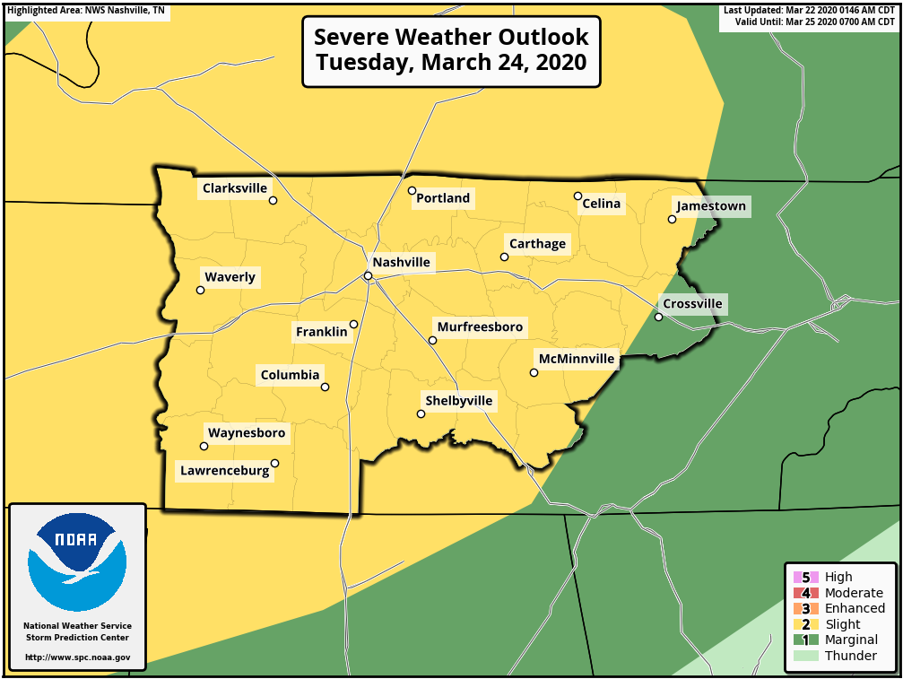
The Storm Prediction Center has expanded their 15% risk of severe weather (within 25 miles of any given location) farther east to include virtually the entirety of the Upper Cumberland.
As it stands, that aforementioned warm front could bring a wave of potentially strong storms into the region late Tuesday morning. Straight-line damaging winds look to be our primary threat, but all modes of severe weather will be possible, including large hail and even an isolated tornado or two.
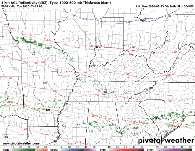
We may see a break in action before additional storms flare up during the afternoon. Supercell thunderstorms capable of producing large hail and perhaps an isolated tornado cannot be ruled out during the afternoon hours. It appears a squall line might form and push through at some point during the late afternoon or evening — itself bringing a damaging wind threat and the potential for a quick tornado spin-up or two.
It must be emphasized that this is a standard severe weather risk and conditional based on a number of factors that could sway our severe storm chances from ‘meh’ to ‘concerning.’
Bottom line: pay attention to Tuesday’s forecast and already have your plan in place in case a warning is issued for your area.
We’ll fine tune details such as timing as we get closer to the event.
Beyond Tuesday, we look to warm up further. Highs Thursday and Friday look to reach the middle to upper 70s — a couple of locations might even top 80° for the first time this year!